
Rafié topographic map
Interactive map
Click on the map to display elevation.
About this map
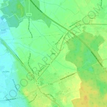
Name: Rafié topographic map, elevation, terrain.
Average elevation: 104 m
Minimum elevation: 92 m
Maximum elevation: 117 m
Other topographic maps
Click on a map to view its topography, its elevation and its terrain.
Les Sabis
France > Occitanie > Tarn-et-Garonne > Montech
Les Sabis, Montech, Montauban, Tarn-et-Garonne, Occitanie, France métropolitaine, 82700, France
Average elevation: 97 m