
Pruchna topographic map
Interactive map
Click on the map to display elevation.
About this map
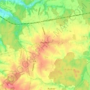
Name: Pruchna topographic map, elevation, terrain.
Average elevation: 271 m
Minimum elevation: 235 m
Maximum elevation: 299 m
Originally the name of the village was Prochna or Prochno. The name of the village is of topographic origin and is derived from the rotten trees (próchno in Polish denotes dry rot). It was sometimes Germanised as Pruchnau.