
Dupont topographic map
Interactive map
Click on the map to display elevation.
About this map
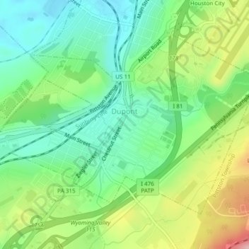
Name: Dupont topographic map, elevation, terrain.
Location: Dupont, Luzerne County, Pennsylvania, USA (41.31327 -75.76258 41.33368 -75.72494)
Average elevation: 255 m
Minimum elevation: 196 m
Maximum elevation: 362 m