
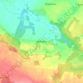
Mersin topographic map
Interactive map
Click on the map to display elevation.
About this map
Name: Mersin topographic map, elevation, terrain.
Average elevation: 70 m
Minimum elevation: 36 m
Maximum elevation: 113 m
Other topographic maps
Click on a map to view its topography, its elevation and its terrain.
Neustadt in Westpreußen
Polen > Woiwodschaft Pommern > powiat wejherowski > Wejherowo
Neustadt in Westpreußen, Wejherowo, powiat wejherowski, Woiwodschaft Pommern, 84-200, Polen
Average elevation: 71 m
Rheda
Polen > Woiwodschaft Pommern > powiat wejherowski
Rheda, powiat wejherowski, Woiwodschaft Pommern, 84-240, Polen
Average elevation: 46 m
Koleczkowo
Polen > Woiwodschaft Pommern > powiat wejherowski > Koleczkowo
Koleczkowo, gmina Szemud, powiat wejherowski, Woiwodschaft Pommern, 84-207, Polen
Average elevation: 177 m