
Innertal topographic map
Interactive map
Click on the map to display elevation.
About this map
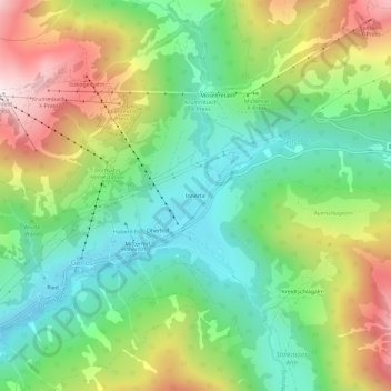
Name: Innertal topographic map, elevation, terrain.
Location: Innertal, Schwaz, Tirol, 6281, Austria (47.21248 12.03170 47.25248 12.07170)
Average elevation: 1,544 m
Minimum elevation: 1,229 m
Maximum elevation: 2,069 m