
Надаровка topographic map
Interactive map
Click on the map to display elevation.
About this map
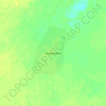
Name: Надаровка topographic map, elevation, terrain.
Location: Надаровка, Успенский район, Павлодарская область, Казахстан (52.78044 77.74333 52.82044 77.78333)
Average elevation: 130 m
Minimum elevation: 120 m
Maximum elevation: 137 m