
Chendrea topographic map
Interactive map
Click on the map to display elevation.
About this map
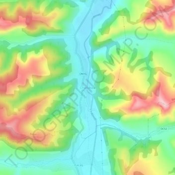
Name: Chendrea topographic map, elevation, terrain.
Location: Chendrea, Sălaj, 457027, Romania (47.10236 23.27904 47.14236 23.31904)
Average elevation: 309 m
Minimum elevation: 219 m
Maximum elevation: 451 m