
Haansberg topographic map
Interactive map
Click on the map to display elevation.
About this map
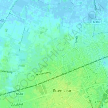
Name: Haansberg topographic map, elevation, terrain.
Average elevation: 4 m
Minimum elevation: -3 m
Maximum elevation: 11 m
Other topographic maps
Click on a map to view its topography, its elevation and its terrain.
Vaartkant
Nederland > Noord-Brabant > Etten-Leur
Vaartkant, Etten-Leur, Noord-Brabant, Nederland, 4872 NC, Nederland
Average elevation: 6 m