
Hawker topographic map
Click on the map to display elevation.
About this map
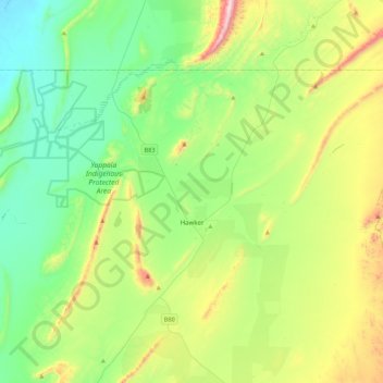
Name: Hawker topographic map, elevation, terrain.
Average elevation: 346 m
Minimum elevation: 95 m
Maximum elevation: 971 m
The Flinders Ranges Council trails, hiking, mountain biking, running and outdoor activities