
Кайракты topographic map
Interactive map
Click on the map to display elevation.
About this map
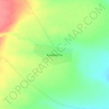
Name: Кайракты topographic map, elevation, terrain.
Location: Кайракты, Каргалинский район, Актюбинская область, Казахстан (50.64488 58.46660 50.68488 58.50660)
Average elevation: 361 m
Minimum elevation: 333 m
Maximum elevation: 400 m