
Anderson County topographic map
Interactive map
Click on the map to display elevation.
About this map
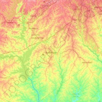
Name: Anderson County topographic map, elevation, terrain.
Location: Anderson County, South Carolina, United States (34.20875 -82.99207 34.81953 -82.31387)
Average elevation: 229 m
Minimum elevation: 136 m
Maximum elevation: 357 m