
Aragosa topographic map
Interactive map
Click on the map to display elevation.
About this map
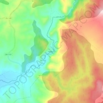
Name: Aragosa topographic map, elevation, terrain.
Location: Aragosa, Mandayona, Guadalajara, Castile-La Mancha, Spain (40.95055 -2.73195 40.99055 -2.69195)
Average elevation: 1,003 m
Minimum elevation: 871 m
Maximum elevation: 1,170 m