
Calloway County topographic map
Click on the map to display elevation.
About this map
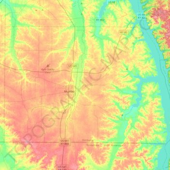
Name: Calloway County topographic map, elevation, terrain.
Location: Calloway County, Kentucky, United States (36.49712 -88.48907 36.75068 -88.03249)
Average elevation: 150 m
Minimum elevation: 102 m
Maximum elevation: 200 m