
Puerto Nuevo topographic map
Interactive map
Click on the map to display elevation.
About this map
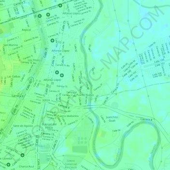
Name: Puerto Nuevo topographic map, elevation, terrain.
Location: Puerto Nuevo, Cali, Colômbia (3.45037 -76.47764 3.45741 -76.47611)
Average elevation: 949 m
Minimum elevation: 942 m
Maximum elevation: 955 m
Other topographic maps
Click on a map to view its topography, its elevation and its terrain.