
Pontiac topographic map
Interactive map
Click on the map to display elevation.
About this map
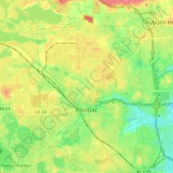
Name: Pontiac topographic map, elevation, terrain.
Location: Pontiac, Oakland County, Michigan, États-Unis (42.60384 -83.33503 42.69962 -83.24790)
Average elevation: 290 m
Minimum elevation: 260 m
Maximum elevation: 329 m