
Colville topographic map
Interactive map
Click on the map to display elevation.
About this map
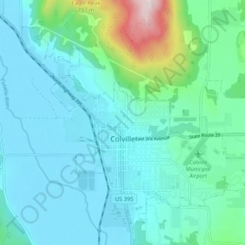
Name: Colville topographic map, elevation, terrain.
Average elevation: 559 m
Minimum elevation: 468 m
Maximum elevation: 1,022 m
Other topographic maps
Click on a map to view its topography, its elevation and its terrain.
Tumtum
États-Unis d'Amérique > Washington > Stevens County
Tumtum, Stevens County, Washington, États-Unis d'Amérique
Average elevation: 555 m