
Sheepdrove topographic map
Interactive map
Click on the map to display elevation.
About this map
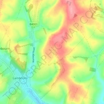
Name: Sheepdrove topographic map, elevation, terrain.
Average elevation: 167 m
Minimum elevation: 121 m
Maximum elevation: 221 m
Other topographic maps
Click on a map to view its topography, its elevation and its terrain.
Lambourn Woodlands
United Kingdom > England > West Berkshire > Lambourn
Lambourn Woodlands, Lambourn, West Berkshire, England, RG17 7BW, United Kingdom
Average elevation: 188 m