
Lorchhausen topographic map
Interactive map
Click on the map to display elevation.
About this map
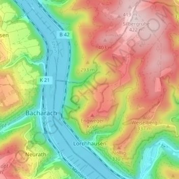
Name: Lorchhausen topographic map, elevation, terrain.
Location: Lorchhausen, Lorch, Rheingau-Taunus-Kreis, Hessen, Duitsland (50.04508 7.77247 50.08482 7.82156)
Average elevation: 235 m
Minimum elevation: 71 m
Maximum elevation: 430 m