
Milpas topographic map
Interactive map
Click on the map to display elevation.
About this map
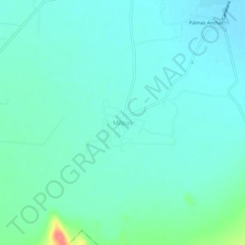
Name: Milpas topographic map, elevation, terrain.
Location: Milpas, Villa de Arista, San Luis Potosí, México (22.57557 -100.89745 22.61557 -100.85745)
Average elevation: 1,636 m
Minimum elevation: 1,623 m
Maximum elevation: 1,694 m
Other topographic maps
Click on a map to view its topography, its elevation and its terrain.
El Mezquite
México > San Luis Potosí > Villa de Arista
El Mezquite, Villa de Arista, San Luis Potosí, México
Average elevation: 1,622 m