
Камысты topographic map
Interactive map
Click on the map to display elevation.
About this map
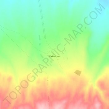
Name: Камысты topographic map, elevation, terrain.
Average elevation: 1,049 m
Minimum elevation: 970 m
Maximum elevation: 1,145 m
Other topographic maps
Click on a map to view its topography, its elevation and its terrain.
Кузеунь
Казахстан > Восточно-Казахстанская область > Тарбагатайский район
Кузеунь, Тарбагатайский район, Восточно-Казахстанская область, Казахстан
Average elevation: 1,207 m