
Maňa topographic map
Interactive map
Click on the map to display elevation.
About this map
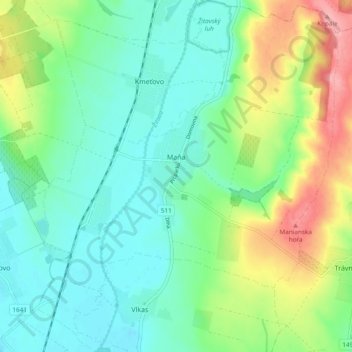
Name: Maňa topographic map, elevation, terrain.
Average elevation: 157 m
Minimum elevation: 122 m
Maximum elevation: 237 m
The village lies at an altitude of 133 metres and covers an area of 21.594 km². It has a population of about 2075 people.