
Sabroso topographic map
Interactive map
Click on the map to display elevation.
About this map
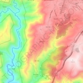
Name: Sabroso topographic map, elevation, terrain.
Location: Sabroso, Folhadela, Vila Real, 5000-103, Portugal (41.23700 -7.75473 41.27700 -7.71473)
Average elevation: 418 m
Minimum elevation: 144 m
Maximum elevation: 615 m
Other topographic maps
Click on a map to view its topography, its elevation and its terrain.