
Cirò topographic map
Interactive map
Click on the map to display elevation.
About this map
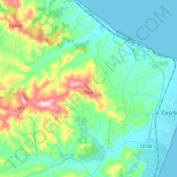
Name: Cirò topographic map, elevation, terrain.
Location: Cirò, Crotone, Calabria, Italy (39.32885 16.97674 39.43955 17.09956)
Average elevation: 106 m
Minimum elevation: 0 m
Maximum elevation: 446 m
Other topographic maps
Click on a map to view its topography, its elevation and its terrain.