
El Batan topographic map
Interactive map
Click on the map to display elevation.
About this map
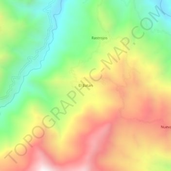
Name: El Batan topographic map, elevation, terrain.
Location: El Batan, San José del Alto, Jaén, Cajamarca, Pérou (-5.55084 -79.02239 -5.51084 -78.98239)
Average elevation: 1,489 m
Minimum elevation: 954 m
Maximum elevation: 2,104 m