
Redal topographic map
Interactive map
Click on the map to display elevation.
About this map
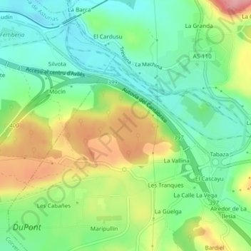
Name: Redal topographic map, elevation, terrain.
Location: Redal, El Redal, Carreño, Asturias, 33416, España (43.53000 -5.85556 43.55000 -5.83556)
Average elevation: 62 m
Minimum elevation: 10 m
Maximum elevation: 148 m