
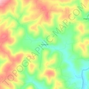
The Basin topographic map
Interactive map
Click on the map to display elevation.
About this map
Name: The Basin topographic map, elevation, terrain.
Location: The Basin, Newton County, Arkansas, 72648, United States (36.07813 -93.17851 36.11813 -93.13851)
Average elevation: 352 m
Minimum elevation: 251 m
Maximum elevation: 465 m