
Shelby County topographic map
Interactive map
Click on the map to display elevation.
About this map
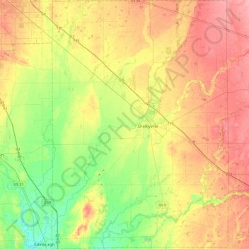
Name: Shelby County topographic map, elevation, terrain.
Location: Shelby County, Indiana, États-Unis d'Amérique (39.34737 -85.95303 39.69900 -85.62896)
Average elevation: 241 m
Minimum elevation: 197 m
Maximum elevation: 289 m