
Oberon topographic map
Interactive map
Click on the map to display elevation.
About this map
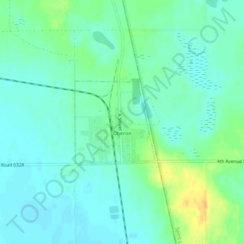
Name: Oberon topographic map, elevation, terrain.
Location: Oberon, Benson County, North Dakota, United States (47.91960 -99.21187 47.92900 -99.19854)
Average elevation: 474 m
Minimum elevation: 465 m
Maximum elevation: 494 m