
Rheden topographic map
Interactive map
Click on the map to display elevation.
About this map
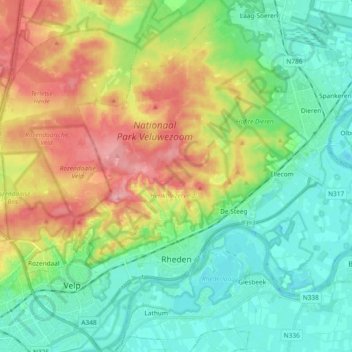
Name: Rheden topographic map, elevation, terrain.
Location: Rheden, Gelderland, Netherlands (51.97441 5.95153 52.08825 6.13747)
Average elevation: 39 m
Minimum elevation: 3 m
Maximum elevation: 106 m