
Saint-Ursanne topographic map
Interactive map
Click on the map to display elevation.
About this map
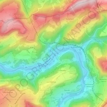
Name: Saint-Ursanne topographic map, elevation, terrain.
Location: Saint-Ursanne, District de Porrentruy, Jura, 2882, Suiza (47.34460 7.13395 47.38460 7.17395)
Average elevation: 644 m
Minimum elevation: 431 m
Maximum elevation: 918 m