
Kaniva topographic map
Interactive map
Click on the map to display elevation.
About this map
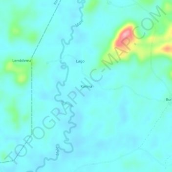
Name: Kaniva topographic map, elevation, terrain.
Location: Kaniva, Kailahun District, Eastern Province, Sierra Leone (8.15732 -10.90486 8.19732 -10.86486)
Average elevation: 184 m
Minimum elevation: 163 m
Maximum elevation: 315 m