
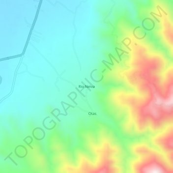
Rio Neiva topographic map
Interactive map
Click on the map to display elevation.
About this map
Name: Rio Neiva topographic map, elevation, terrain.
Location: Rio Neiva, Campoalegre, Norte, Huila, Colômbia (2.58908 -75.35593 2.62908 -75.31593)
Average elevation: 769 m
Minimum elevation: 571 m
Maximum elevation: 1,204 m