
Annandale topographic map
Interactive map
Click on the map to display elevation.
About this map
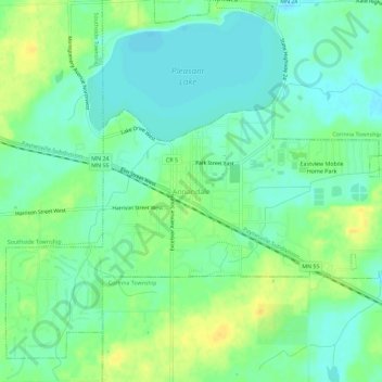
Name: Annandale topographic map, elevation, terrain.
Location: Annandale, Wright County, Minnesota, 55302, United States (45.24274 -94.14443 45.28274 -94.10443)
Average elevation: 324 m
Minimum elevation: 313 m
Maximum elevation: 339 m