
Donald topographic map
Interactive map
Click on the map to display elevation.
About this map
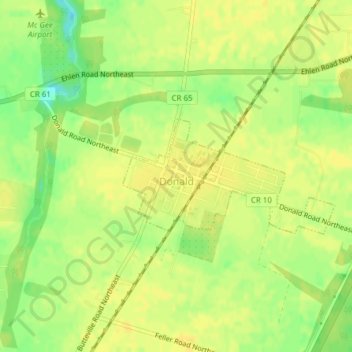
Name: Donald topographic map, elevation, terrain.
Location: Donald, Marion County, Oregon, 97020, United States (45.21819 -122.84728 45.22705 -122.82414)
Average elevation: 56 m
Minimum elevation: 40 m
Maximum elevation: 61 m
Other topographic maps
Click on a map to view its topography, its elevation and its terrain.
Woodburn
United States > Oregon > Marion County
Woodburn, Marion County, Oregon, 97071, United States
Average elevation: 55 m
Macleay
United States > Oregon > Marion County > Macleay
Macleay, Marion County, Oregon, United States
Average elevation: 135 m
Salem
United States > Oregon > Marion County
Salem, Marion County, Oregon, United States
Average elevation: 96 m