
Celadas topographic map
Interactive map
Click on the map to display elevation.
About this map
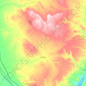
Name: Celadas topographic map, elevation, terrain.
Location: Celadas, Comunidad de Teruel, Teruel, Aragón, España (40.42695 -1.21311 40.56904 -1.09967)
Average elevation: 1,142 m
Minimum elevation: 940 m
Maximum elevation: 1,314 m