
Uberach topographic map
Interactive map
Click on the map to display elevation.
About this map
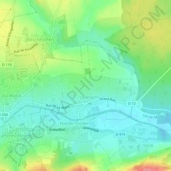
Name: Uberach topographic map, elevation, terrain.
Average elevation: 187 m
Minimum elevation: 159 m
Maximum elevation: 244 m
Other topographic maps
Click on a map to view its topography, its elevation and its terrain.
La Walck
France > Grand Est > Bas-Rhin > Val-de-Moder
La Walck, Val-de-Moder, Haguenau-Wissembourg, Bas-Rhin, Grand Est, France métropolitaine, 67350, France
Average elevation: 189 m