
Pinto topographic map
Interactive map
Click on the map to display elevation.
About this map
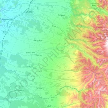
Name: Pinto topographic map, elevation, terrain.
Location: Pinto, Provincia de Diguillín, Región de Ñuble, Chile (-37.11660 -72.00369 -36.66623 -71.09516)
Average elevation: 545 m
Minimum elevation: 46 m
Maximum elevation: 2,321 m