
Schofield topographic map
Interactive map
Click on the map to display elevation.
About this map
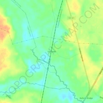
Name: Schofield topographic map, elevation, terrain.
Location: Schofield, Bamberg County, South Carolina, 29849, USA (33.11266 -81.21983 33.15266 -81.17983)
Average elevation: 44 m
Minimum elevation: 27 m
Maximum elevation: 66 m