
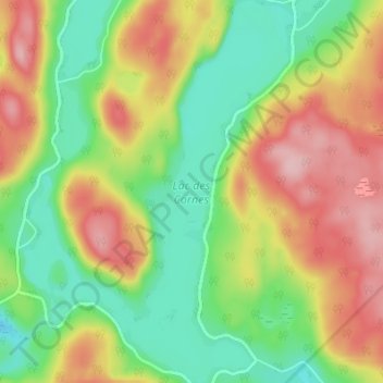
Lac des Cornes topographic map
Interactive map
Click on the map to display elevation.
About this map
Name: Lac des Cornes topographic map, elevation, terrain.
Average elevation: 352 m
Minimum elevation: 273 m
Maximum elevation: 451 m
Other topographic maps
Click on a map to view its topography, its elevation and its terrain.
Petit Lac Kiamika
Canada > Québec > Chute-Saint-Philippe
Petit Lac Kiamika, Chute-Saint-Philippe, Antoine-Labelle, Laurentides, Québec, Canada
Average elevation: 283 m
Lac-David
Canada > Québec > Chute-Saint-Philippe
Lac-David, Chute-Saint-Philippe, Antoine-Labelle, Laurentides, Québec, Canada
Average elevation: 295 m