
Çayeli topographic map
Interactive map
Click on the map to display elevation.
About this map
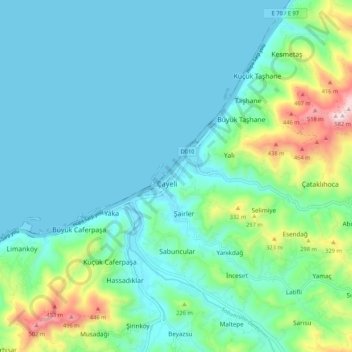
Name: Çayeli topographic map, elevation, terrain.
Location: Çayeli, Rize, Black Sea Region, 53200, Turkey (41.04935 40.68644 41.12935 40.76644)
Average elevation: 113 m
Minimum elevation: 0 m
Maximum elevation: 584 m