
Mangat topographic map
Interactive map
Click on the map to display elevation.
About this map
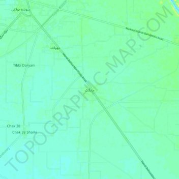
Name: Mangat topographic map, elevation, terrain.
Location: Mangat, Gujrāt District, Pendjab, Pakistan (32.47579 73.46312 32.55579 73.54312)
Average elevation: 219 m
Minimum elevation: 214 m
Maximum elevation: 227 m