Praia de S. Jorge topographic map
Interactive map
Click on the map to display elevation.
About this map
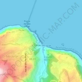
Name: Praia de S. Jorge topographic map, elevation, terrain.
Average elevation: 121 m
Minimum elevation: -1 m
Maximum elevation: 492 m

Click on the map to display elevation.
Name: Praia de S. Jorge topographic map, elevation, terrain.
Average elevation: 121 m
Minimum elevation: -1 m
Maximum elevation: 492 m