
Nationales Naturmonument "Bruchhauser Steine" topographic map
Interactive map
Click on the map to display elevation.
About this map
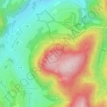
Name: Nationales Naturmonument "Bruchhauser Steine" topographic map, elevation, terrain.
Average elevation: 542 m
Minimum elevation: 411 m
Maximum elevation: 730 m