

Stanwell topographic map
Click on the map to display elevation.
About this map
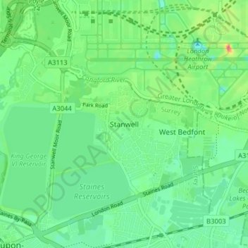
Name: Stanwell topographic map, elevation, terrain.
Average elevation: 20 m
Minimum elevation: -1 m
Maximum elevation: 64 m
Other topographic maps
Click on a map to view its topography, its elevation and its terrain.



Queen Mary Reservoir
United Kingdom > England > Surrey > Borough of Spelthorne > Charlton
Average elevation: 14 m

Sunbury Court Island
United Kingdom > England > Surrey > Borough of Spelthorne
Average elevation: 13 m

Shepperton
United Kingdom > England > Surrey > Borough of Spelthorne
Shepperton has a long boundary with the River Thames in its southernmost salient, which almost surrounds Spelthorne. Old Shepperton is almost surrounded by the extreme southern meander within this. Prehistoric glacial retreat north of this has made the north bank almost flat for a considerable distance and as…
Average elevation: 12 m