
Алгабас topographic map
Interactive map
Click on the map to display elevation.
About this map
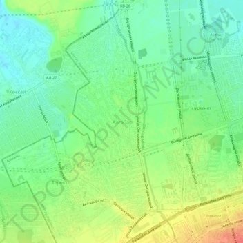
Name: Алгабас topographic map, elevation, terrain.
Location: Алгабас, Алматы, Карасайский район, A10H6G1, Казахстан (43.23440 76.77923 43.27440 76.81923)
Average elevation: 764 m
Minimum elevation: 743 m
Maximum elevation: 795 m