
Okwongo We topographic map
Interactive map
Click on the map to display elevation.
About this map
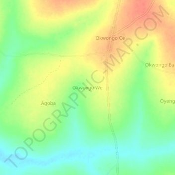
Name: Okwongo We topographic map, elevation, terrain.
Location: Okwongo We, Otuke, Northern Region, Uganda (2.48306 33.23916 2.52306 33.27916)
Average elevation: 1,046 m
Minimum elevation: 1,022 m
Maximum elevation: 1,069 m