
Al Salamuni topographic map
Interactive map
Click on the map to display elevation.
About this map
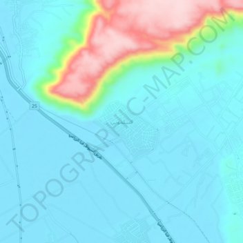
Name: Al Salamuni topographic map, elevation, terrain.
Location: Al Salamuni, Suhaj, Egypt (26.59347 31.75054 26.63347 31.79054)
Average elevation: 108 m
Minimum elevation: 59 m
Maximum elevation: 319 m
Other topographic maps
Click on a map to view its topography, its elevation and its terrain.