
Ben Arous topographic map
Interactive map
Click on the map to display elevation.
About this map
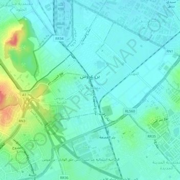
Name: Ben Arous topographic map, elevation, terrain.
Location: Ben Arous, 2013, Tunisie (36.73111 10.20764 36.76663 10.24681)
Average elevation: 17 m
Minimum elevation: 1 m
Maximum elevation: 74 m
Other topographic maps
Click on a map to view its topography, its elevation and its terrain.