
Maluku Barat Daya topographic map
Interactive map
Click on the map to display elevation.
About this map
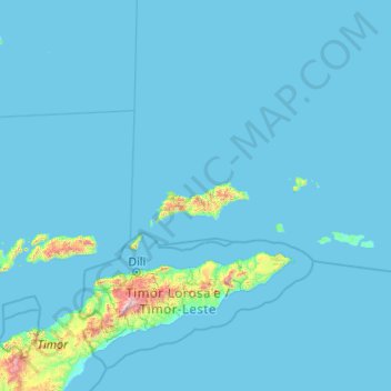
Name: Maluku Barat Daya topographic map, elevation, terrain.
Location: Maluku Barat Daya, Moluques, Maluku, Indonésie (-8.34412 125.72252 -7.06201 130.09360)
Average elevation: 57 m
Minimum elevation: 0 m
Maximum elevation: 2,700 m
Other topographic maps
Click on a map to view its topography, its elevation and its terrain.
Kepulauan Barat Daya
Kepulauan Barat Daya, Moluques, Indonésie
Average elevation: 0 m