
Hinterrhein topographic map
Interactive map
Click on the map to display elevation.
About this map
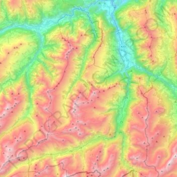
Name: Hinterrhein topographic map, elevation, terrain.
Location: Hinterrhein, Viamala, Grisons, Switzerland (46.49639 9.06051 46.82341 9.45398)
Average elevation: 1,782 m
Minimum elevation: 591 m
Maximum elevation: 3,223 m